

Winter Storm: Rain moves out of Southern California, gusty winds expected

Snow hits mountains, high surf strikes coast
The San Bernardino Mountains have seen multiple inches of snow, leading to crashes and traffic jams. Meanwhile large waves continue to slap the coast.
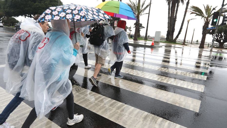
LOS ANGELES - Multiple storm systems moved into Southern California, bringing widespread rain, gusty winds, possible thunderstorms, and mountain snow.

Weather forecast for Wednesday, Jan. 3
The latest forecast and air quality conditions for the greater Los Angeles area, including beaches, valleys and desert regions.
National Weather Service forecasters said the bulk of the storm's rain had passed through the area by Wednesday morning, but a chance of some scattered showers remained, including the possibility of a thunderstrom near the coast.
With much of the storm having passed, the NWS canceled winter weather advisories that had been in place for the San Gabriel Mountains and the 5 and 14 freeway corridors were canceled by early afternoon.

Rainbow spotted over Van Nuys airport
After the rain cleared out, a beautiful rainbow was spotted over the Van Nuys airport.
But replacing the chances of rain and snow were strong winds that are expected to continue through Thursday night. The NWS issued a wind advisory that will be in effect until 1 a.m. Friday for the Santa Clarita Valley, Malibu Coast, Los Angeles County beaches, Palos Verdes Hills, Santa Mountains Recreational Area, Calabasas, western San Fernando Valley, the San Gabriel Mountains, Catalina Island and the 14 Freeway corridor.
Forecasters said northwest winds of 20 to 30 mph were expected, along with isolated gusts of 40 to 50 mph.

Winter storm brings rain, snow, high surf
A Winter Storm Advisory was in effect in Southern California's mountain communities.
In the Antelope Valley, a wind advisory will be in effect until 4 a.m. Thursday, with winds of up to 25 mph expected, and gusts up to 45 mph.
A more serious high wind warning will be in place for the 5 Freeway corridor until 1 a.m. Friday, impacting areas including the Tejon Pass, Gorman and Pyramid Lake. Those areas could see gusts of up to 65 mph, forecasters said.
Snow could still fall at elevations over 4,000 feet, while temperatures across the area are expected to be in the mid-50s to about 60. Temperatures could drop below freezing in some areas Thursday night.
The storm also brought the return of high surf, with a High Surf Advisory in effect for the coastal communities in Ventura and Los Angeles counties from 9 a.m. to 9 p.m. Wednesday.
"Conditions will be like this through tomorrow, " explained LA County Lifeguard spokesperson Pono Barnes, who said the gale strength winds are also a danger for small vessels.
Don't expect the kind of flooding issues we saw with last week's storm. Waves will not be as dramatic. But do expect dangerous rip currents and cold wind for the next 24-48 hours.
There will be another slight chance of light rain in the area Saturday night into Sunday morning, with more cold air expected over the weekend, keeping temperatures in the 50s, according to the NWS.
RELATED: 2023 finishes as warmest year on record
Officials recommended avoiding driving in mountain areas and urged motorists to pack food and water in case of long road delays.
(Getty Images)
City News Service contributed to this report