Tropical Storm Hilary: Rainfall totals across Southern California

Weather Forecast for Monday, Aug. 21
The latest weather forecast and air quality conditions for the greater Los Angeles area, including beaches, valleys and desert regions.
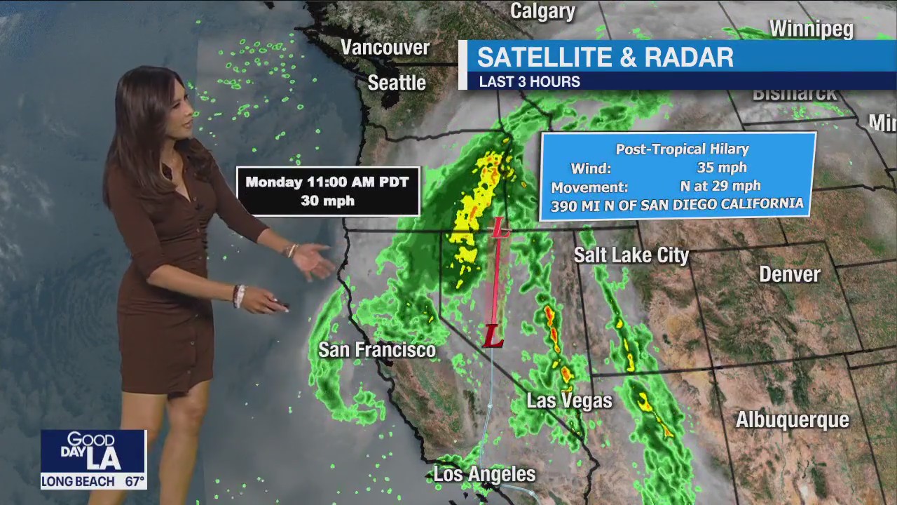
LOS ANGELES - Rain from Tropical Storm Hilary was tapering off Monday as the unsettled weather system moved to the north, but sporadic showers continued to fall and cleanup operations were underway as mud flows and flooding impacted some roads and highways.
"Hilary made Sunday a record-breaking day for rainfall with almost -- if not all -- stations receiving record amounts of rainfall," according to the National Weather Service.
SUGGESTED:
- Tropical Storm Hilary leaves path of destruction in Southern California
- More than a dozen earthquakes rock Southern California amid Tropical Storm Hilary
- Tropical Storm Hilary: What's closed, canceled across SoCal
The highest rainfall total recorded over a two-day period ending at 7 a.m. Monday was at Mount Wilson, where the NWS reported 8.56 inches of rain.
Below are 2-day rainfall totals across Southern California from the National Weather Service:
Top rainfall amounts from all local areas
- Mount Wilson: 8.56
- Lewis Ranch: 7.04
- Leona Valley Fire Station: 6.97
- Top Crystal Lake: 6.97
- Cogswell Dam: 6.69
- Santa Anita Dam: 6.53
- Saugus: 6.46
- San Gabriel Dam: 5.98
- Lake Palmdale: 5.98
- Mt Baldy: 5.84
- San Antonio Sierra Ph: 5.84
- Morris Dam: 5.76
- East Pasadena: 5.74
LA County Coast and Metro
- Hollywood Reservoir: 4.92
- Beverly Hills: 4.80
- Leo Carrillo: 4.39
- Bel Air: 4.14
- Culver City: 3.65
- Santa Monica: 3.56
- Downtown LA: 2.99
- Long Beach: 2.62
- LAX: 2.54
- Redondo Beach: 2.47
- Hawthorne: 2.24
San Fernando Valley
- Van Nuys: 4.70
- La Canada Flintridge: 4.52
- Northridge: 4.47
- Calabasas: 3.98
- Porter Ranch: 3.96
- Agoura Hills: 3.95
- San Rafael Hills: 3.81
- Burbank: 3.56
- Canoga Park: 3.51
- Chatsworth Reservoir: 3.02
- Hansen Dam: 2.29
San Gabriel Valley
- Morris Dam: 5.76
- East Pasadena: 5.74
- Eagle Rock Reservoir: 4.70
- Sierra Madre: 4.45
- Claremont: 4.04
- La Verne: 4.01
- Alhambra: 3.60
- Whittier: 2.81
- Pasadena: 2.40
Santa Clarita Valley
- Saugus: 6.46
- Newhall: 5.71
- Castaic Juntion: 5.47
- Del Valle: 5.26
- Castaic: 4.51
Catalina Island
- Avalon Harbor: 1.85
LA County Mountains
- Mount Wilson: 8.56
- Lewis Ranch: 7.04
- Crystal Lake: 6.97
- Cogswell Dam: 6.69
- Santa Anita Dam: 6.53
- San Gabriel Dam: 5.98
- Mt. Baldy 5.84
- Big Dalton Dam: 5.67
- Chilao South: 5.16
- Mill Creek: 5.14
- Inspiration Point: 5.08
- West Fork Heliport: 4.92
- Whitaker Peak: 4.40
- Chilao: 4.37
- Tanbark: 4.34
- Warm Springs Camp: 4.10
- Warm Springs: 4.08
- Hungry Valley: 3.38
- San Antonio Dam: 2.92
Santa Monica Mountains
- Stunt Ranch: 5.08
- Sepulveda Canyon at Mulholland: 4.91
- Topanga: 4.74
- Monte Nido: 4.65
- Lechuza: 4.03
Antelope Valley
- Lake Palmdale: 5.98
- Valyermo: 5.65
- Poppy Park: 4.29
- Palmdale: 3.94
- Saddleback Butte: 3.24
- Lancaster: 2.16
Ventura County
- CSU Channel Islands: 4.17
- Saticoy: 2.52
- Oxnard: 1.63
- Ventura: 1.44
- Moorpark: 3.75
- Miller Ranch: 3.42
- Thousand Oaks: 3.35
- Simi Valley: 3.34
- Westlake Village: 3.19
- Newbury Park: 3.00
- Piru: 4.71
- Lake Piru: 4.70
- Santa Paula: 3.52
- Harmon Canyon: 2.19
- Stewart Canyon: 1.65
- Ojai: 1.56
- Fillmore: 0.36
- Fagan Canyon: 0.90
Santa Barbara County
- Carpinteria: 0.32
- Goleta: 0.28
- Summerland: 0.27
- Cold Springs: 0.26
- Santa Barbara: 0.25
- Montecito Hills: 0.24
- Santa Cruz Island: 0.11
- Refugio Hills: 0.04

