

Tropical Storm Marie to become hurricane: What it means for Southern California's Labor Day weekend
Weather Forecast: Wednesday, Sept. 2
The latest forecast and air quality conditions for the greater Los Angeles area, including beaches, valleys and desert regions.
LOS ANGELES - Tropical Storm Marie is expected to become a hurricane Wednesday off the Mexican coast, threatening Southern California with high surf and rain over Labor Day weekend despite a low chance of a direct strike.
What we know:
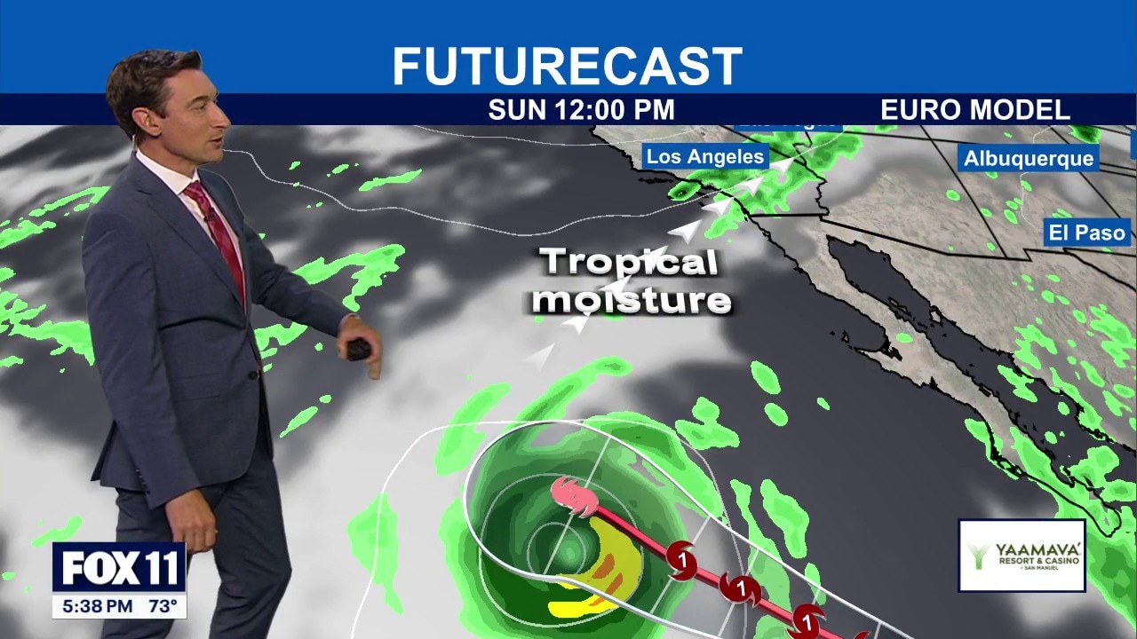
According to the National Weather Service (NWS), current projections indicate a high likelihood that Marie will maintain a west-to-northwest track away from the West Coast. However, moisture from the storm will still be drawn into Southern California.
There is a 50% to 60% chance of widespread light rainfall ranging from 0.10 to 0.50 inches Sunday through Tuesday, forecasters predict.
RELATED: Los Angeles County prepares for possible Labor Day weekend storm and El Niño risks
Coastal areas face the highest certainty of impact.
High surf advisories are expected for south-facing beaches, accompanied by very strong rip currents.
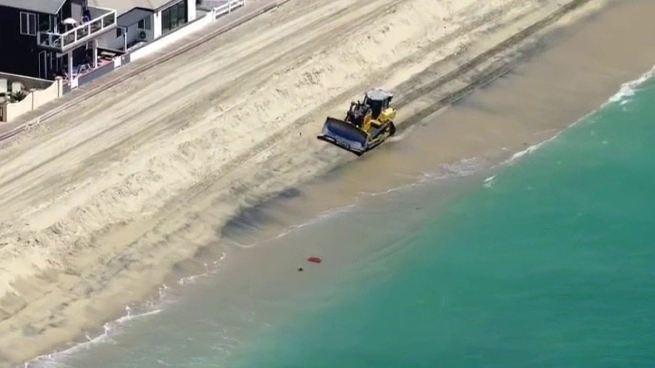
Evening high tides are projected to reach 6.5 to 6.8 feet on Sunday and roughly 7 feet on Monday, creating the potential for coastal flooding in low-lying areas and beach erosion, according to the NWS.
Prior to the arrival of tropical moisture, Los Angeles and Orange counties will see relatively quiet weather through Friday, with a West Coast trough keeping temperatures 2 to 6 degrees below seasonal norms.
What we don't know:
The exact path of the storm is uncertain, leaving the exact volume of tropical moisture, rain, and wind reaching Southern California to be determined.
While widespread light rain is anticipated, forecasters are monitoring a 10% to 15% chance of heavy rain and localized thunderstorms.
Additionally, there is a 10% to 15% chance that moderate to strong easterly winds could develop ahead of the precipitation, which would raise fire-weather concerns, the NWS said.
It's also unknown whether peak surf will coincide precisely with the peak high tides; if it does, moderate coastal flooding and beach erosion could occur.
Timeline:
Quiet weather with below-normal temperatures and patchy morning marine-layer fog will remain across coastal plains and valleys through Friday, according to the NWS.
Coastal swells will begin building over the holiday weekend, with peak high surf advisories and rip currents expected Sunday through Monday night, according to forecasters.
SoCal preparing for Tropical Storm Marie
Moisture drawn from the system brings a 50% to 60% chance of light rain and a 10% to 15% chance of severe thunderstorms or elevated fire weather to the region across the holiday weekend.
Evening high tides will peak on Sunday between 6.5 to 6.8 feet and on Monday at approximately 7 feet.
The highest chances for widespread rainfall and potential thunderstorm activity run from Sunday through Tuesday.
What they're saying:
The NWS emphasized that the likelihood of the storm making direct landfall in the region as a major system remains minimal, noting, "The chances of Marie directly hitting Southern California as a hurricane or tropical storm remain VERY LOW."
Officials pointed out that only a few computer-model projections showed a track anywhere close to the region.
Forecasters warned that conditions will remain unpredictable as the holiday approaches, stating, "Needless to say, the weather for the upcoming Labor Day weekend may be highly dynamic. A minor change in the track of Marie could result in significant changes to the current forecast."
Preparing for the holiday weekend
Newport Beach lifeguards are preparing not just for a Labor Day rush to the beach but also for the potential for high tides and dangerous rip currents.
"We're going to be fully staffed with the expectations of working extended hours and bringing in and making additional assignments in key areas to help ensure the safety of not only the public but our teammates as well," said Newport Beach Lifeguard Battalion Chief Adam Yacenda.
Tropical Storm Marie could impact SoCal weather
Tropical Storm Marie is expected to strengthen into a hurricane Wednesday as it moves northwest off the Mexican coast, but forecasters said the chances of the storm directly striking Southern California remain "very low," although rain, high surf and other impacts are likely over the Labor Day weekend.
It's been a busy summer season for lifeguards in Newport Beach.
"The average summer would be around 3,200 rescues for what we see for a typical summer, right now we're over 4,000," Yacenda said.
What's next:
Forecasters will continue to evaluate incoming computer-model projections to determine if Marie shifts its path, which would alter rainfall totals and wind risks.
The NWS will issue updated coastal advisories and weather warnings as the system develops over the open ocean throughout the week.
The Source: This report is based on forecast advisories, computer modeling data, and official analytical statements issued by the National Weather Service and the National Hurricane Center. City News Service contributed.