

SoCal heat wave timeline: Tracking extreme humidity, fire risks, and the weekend cooldown
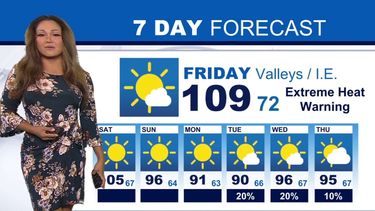
Weather Forecast for Friday, August 28
The latest forecast and air quality conditions for the greater Los Angeles area, including beaches, valleys and desert regions.
LOS ANGELES - Extreme heat and tropical humidity will maintain severe weather threats across Southern California through Friday before a relief system arrives over the weekend.
National Weather Service forecasters warn that lingering tropical moisture combined with high temperatures continues to elevate fire risk and thunderstorm potential.
What we know:
High temperatures continued across the region on Thursday, reaching 98 degrees in Van Nuys, 94 degrees in Burbank and Fullerton, 93 degrees in Santa Ana, and 91 degrees in downtown Los Angeles.
Extreme heat warnings remain in effect through 8 p.m. Friday for large portions of Los Angeles County as well as inland Orange County, including Santa Ana, Garden Grove, Anaheim, Fullerton, and Irvine.
A heat advisory covers Orange County coastal zones.
Despite increased cloud cover on Thursday, an influx of tropical atmospheric moisture associated with the remnants of Tropical Storm Iselle pushed regional dewpoints to near 70 degrees.
Reduced cloud cover expected on Friday could allow land temperatures to increase even further.
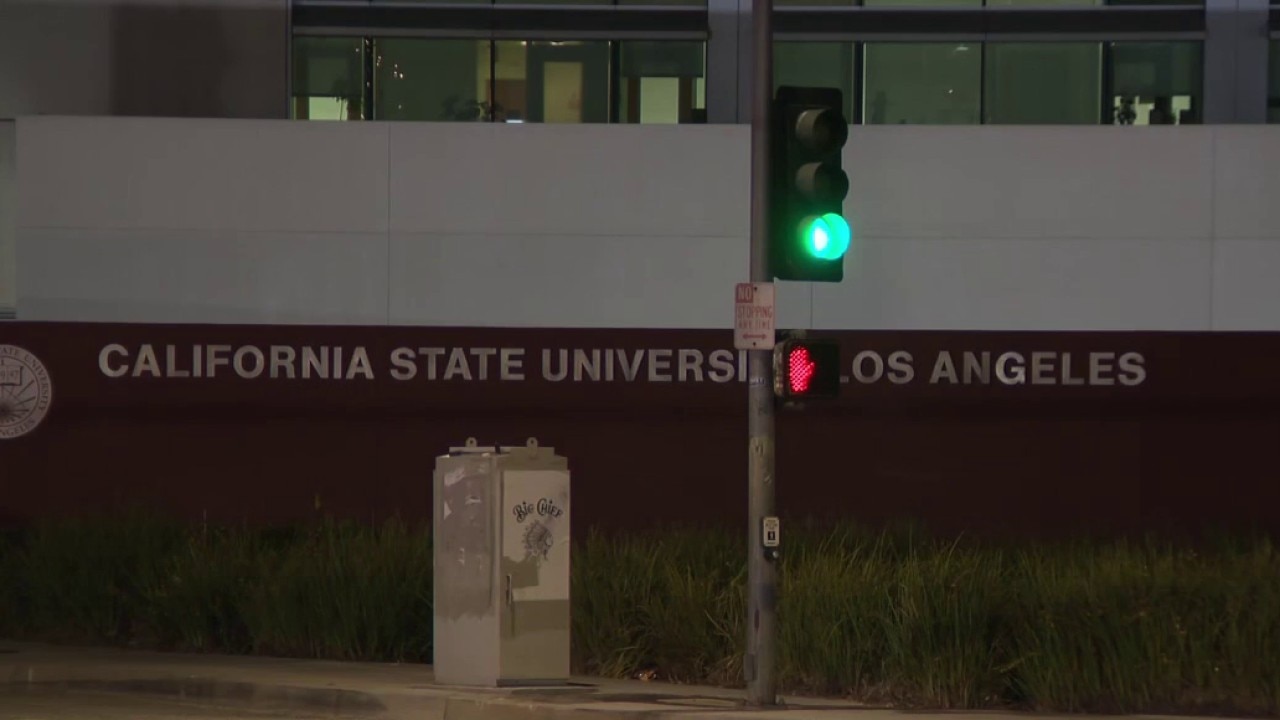
Cal State LA under modified operations due to heat wave
Due to the extreme heat wave, CSULA announced it will be under modified operations Friday through the weekend.
Red flag warnings for critical fire danger remain active until 3 p.m. Friday for the San Gabriel Mountains and areas along the Interstate 5 and Highway 14 corridors due to gusty winds and deep atmospheric mixing.
Timeline:
The severe weather threat peaks through Friday afternoon with active red flag warnings expiring at 3 p.m. and extreme heat warnings ending at 8 p.m.
Tropical moisture is projected to clear the region Friday night, initiating a steady cooling trend starting Saturday.
By Sunday and Monday, temperatures are expected to fall below normal season averages alongside the return of a typical coastal marine layer.
What they're saying:
NWS forecasters noted that the moisture regime has created unusually oppressive conditions across the region.
"Despite the numeric cool down, most will agree that it still feels hot as dewpoints are around 70 degrees for much of our region, which is similar to Florida right now," forecasters said.
Regarding the threat of erratic mountain weather, forecasters stated, "The main threat will continue to be cloud-to-ground lightning and erratic winds, which pose a significant risk for fire starts and growth."
Addressing the potential for a secondary storm system next week, the weather service added, "The most likely outcome is for some increased mugginess and warmer conditions and that is about it," describing further impacts as remaining in a "wait and see holding pattern."
What's next:
A developing weather disturbance off the Baja California coast is expected to mature into a tropical storm.
Forecast models show roughly half of current projections pushing some degree of tropical moisture into Southern California between Tuesday and Thursday.
But only 10% of current projections show measurable rainfall resulting from the secondary disturbance, the NWS said.
What you can do:
Residents are advised to limit outdoor physical activity during peak afternoon hours, stay hydrated, and take advantage of air-conditioned spaces until Friday night.
Those living near foothill regions and red flag warning zones should maintain heightened situational awareness regarding fire weather conditions and adhere to localized emergency alert guidance.
The Source: This report is based on information provided by the National Weather Service. City News Service contributed.