

Rain hits Southern California, stormy weather expected through Christmas Day
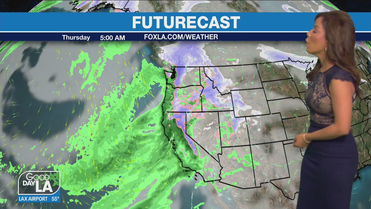
Weather Forecast for Thursday, Dec. 23
The latest forecast for the greater Los Angeles area, including beaches, valleys and desert regions.
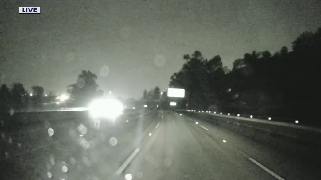
LOS ANGELES - Yet another storm system dumped rain across the Southland Thursday, making for a wet afternoon in most areas and prompting a mudlside in Orange County that affected roads and impacted some homes.
The mudslide was reported just after 8 p.m. in Silverado Canyon. The Orange County Fire Authority reported there were no injuries nor calls for rescues following the landfall.
A voluntary evacuation warning took effect at 8 a.m. in Silverado, Williams and Modjeska canyons in Orange County's Bond Fire burn area, but by mid-afternoon it was upgraded to a mandatory evacuation order taking effect at 8 p.m.
The county activated its Emergency Operations Center Thursday morning to help expedite the response to any flooding or debris flows.
Rain to hit Southern California starting Thursday through Christmas Day
A soggy Christmas Day in Southern California could mean flooding and debris flows in parts of the region.
The National Weather Service issued a flood watch that will be in effect until Friday morning for coastal and inland Orange County. Forecasters said some mountain areas could receive 3 to 6 inches of rain from the "atmospheric river," with the heaviest downpours expected after midnight through Friday morning.
Get your top stories delivered daily! Sign up for FOX 11’s Fast 5 newsletter. And, get breaking news alerts in the FOX 11 News app. Download for iOS or Android.
Orange County CEO Frank Kim said officials anticipated activating the county's emergency operations center.
"We're expecting at least a half-inch of rain" but with the ground already saturated with rain it has officials concerned.
"Even a quarter-inch on saturated ground can lead to a mudslide," Kim said.

Storm Watch: Preparing for the inevitable in Silverado Canyon
FOX 11's Rick Lozano was in Silverado Canyon as crews are making sure the area is ready for the incoming storms.
The rain will persist intermittently -- perhaps heavy at times -- through the holiday weekend, according to the National Weather Service.
"Unsettled weather will prevail across the area with periods of rain through Sunday morning, heaviest Thursday into early Friday," according to the weather service.
"Snow levels will remain quite high today and Thursday but will drop significantly Friday night into Saturday. Temperatures will be significantly below normal across the region."
Snow levels will initially be around 9,000 feet, but will fall below 8,000 by Friday afternoon, bringing some light snow to about 5,000 feet by Friday night into Saturday morning.
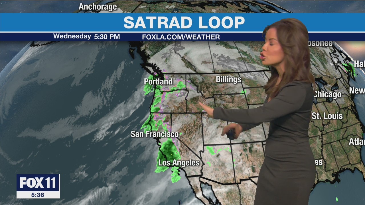
Weather Forecast: Wednesday, Dec. 22
The latest forecast for the greater Los Angeles area, including beaches, valleys and desert regions.
The forecast came with the usual cautions for travelers.
"Moderate rain could create slick roads and travel delays along with high mountain snow accumulations and gusty winds," forecasters said. "Additional rain and lowering snow levels could impact travel this holiday weekend."
Daytime temperatures should be in the upper 50s to mid-60s Thursday, the mid-50s to lower 60s Friday and the mid-50s to around 60 on Christmas Day.
The Angeles National Forest tweeted Wednesday that due to the upcoming rain and low snow levels, the following roads have been closed:
- 3N17 from BD to Mill Creek;
- 4N33 Moody;
- 4N37 Indian Canyon passable in 4x4 only;
- 4N24 Bear Trap;
- 7N23 Sawmill/Liebre area - 4x4 only;
- 7N08 Maxwell truck trail;
- 7N22 Knapp ranch large wash out.
Tune in to FOX 11 Los Angeles for the latest Southern California news.