

Hurricane Marie swell brings high surf, rain risk to Southern California
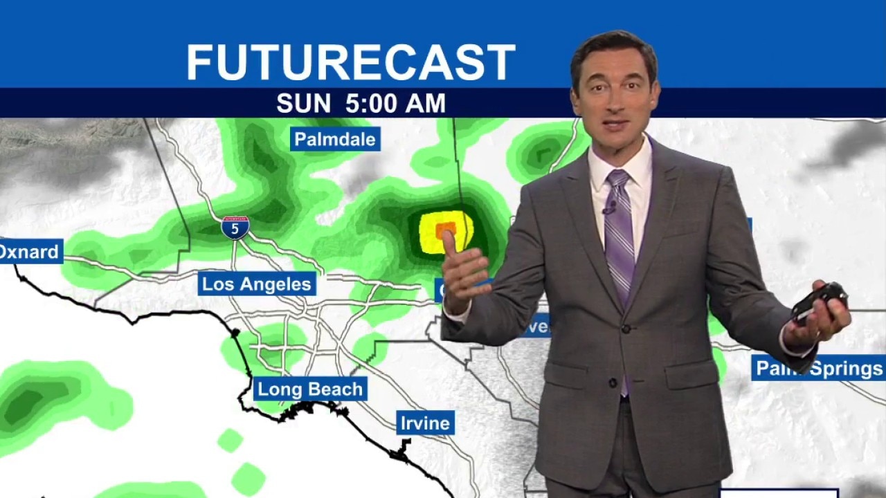
Weather Forecast for Saturday, Sept. 5
The latest forecast and air quality conditions for the greater Los Angeles area, including beaches, valleys and desert regions.
LOS ANGELES - A large southerly swell generated by Hurricane Marie is bringing hazardous ocean conditions and elevated coastal risks to Southern California beaches throughout the Labor Day holiday weekend.
While the storm itself will remain several hundred miles away from California, coastal alerts and shifting weather patterns will impact local shorelines and surrounding counties.
What we know:
Coastal alerts are in place from Saturday through Tuesday, including a high surf advisory for large waves and strong rip currents, alongside a coastal flood advisory for minor to moderate coastal flooding, particularly during evening high tides, according to the National Weather Service (NWS).
Waves along exposed south-facing shores are forecasted to reach between 5 and 8 feet, with larger waves possible at locations such as Malibu.
Peak tides exceeding 7 feet early next week, combined with the swell, create a flood risk for vulnerable coastal areas including Avalon, Malibu, and the Alamitos Peninsula in Long Beach, the NWS said.
Forecasters warn humidity will increase across the region as tropical moisture arrives.
For those headed to the beaches, county health officials are urging beachgoers about elevated bacteria levels at nine specific coastal spots, including areas near Santa Monica Pier, Redondo Beach Pier, and Inner Cabrillo Beach.
What we don't know:
While atmospheric models show high confidence regarding coastal swell impacts, the exact trajectory of light rain remains subject to minor shifts, the NWS said.
Timeline:
Coastal alerts remain active from Saturday through Tuesday evening, with peak high tides expected to create the greatest flooding risks during evening hours and into Monday.
The highest potential for light shower activity occurs on Sunday, mainly tracking south and east of Los Angeles toward San Diego.
Ocean advisories and high surf will persist through Tuesday night.
What's next:
Local emergency management and public works departments will monitor shoreline conditions and potential urban runoff hazards throughout the long weekend.
Unsettled conditions could linger into early next week as tropical moisture interacts with the regional jet stream.
Meanwhile, the Los Angeles County Department of Public Health will continue routine water quality testing at warning locations.
What you can do:
Beachgoers and swimmers should exercise extreme caution, stay near lifeguard towers, and avoid swimming at locations flagged for high bacteria levels.
Drivers should remain mindful that any light rainfall after months of dry weather can create slick roads due to accumulated surface oils.
Updated ocean water quality advisories are available 24 hours a day on the county beach hotline at 800-525-5662.
The Source: This report is based on information provided by the National Weather Service. City News Service contributed.