

Residents return home a day after Springs Fire forced evacuations

Formerly evacuated residents safely back home
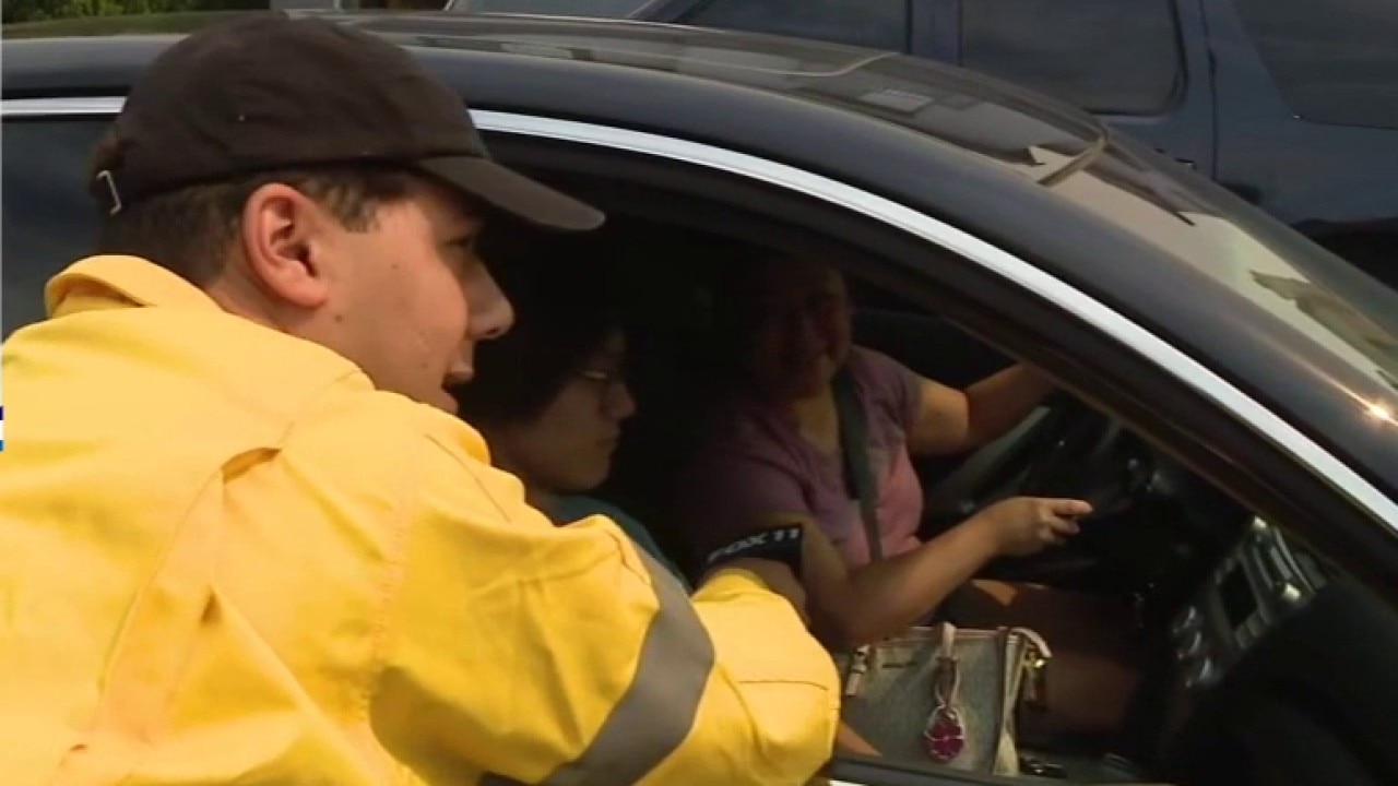
FOX 11 spoke with a Moreno Valley family who is grateful to be back home after Spring Fire briefly evacuated them.
RIVERSIDE COUNTY, Calif. - Firefighters in Riverside County made significant strides Saturday in taming the Springs Fire, a fast-moving brush fire that threatened hundreds of homes near Moreno Valley.
What we know:
The Springs Fire ignited Friday morning near Gilman Springs Road and quickly spread through "light flashy fuels" driven by gusts reaching 70 mph.
As of Saturday, the fire remains at 4,176 acres with containment rising to 95%, according to the latest update from Cal Fire.
PREVIOUS COVERAGE: Springs Fire in Moreno Valley grows to 4,100+ acres
Approximately 260 personnel, including 36 engines and seven hand crews, remain on the scene.
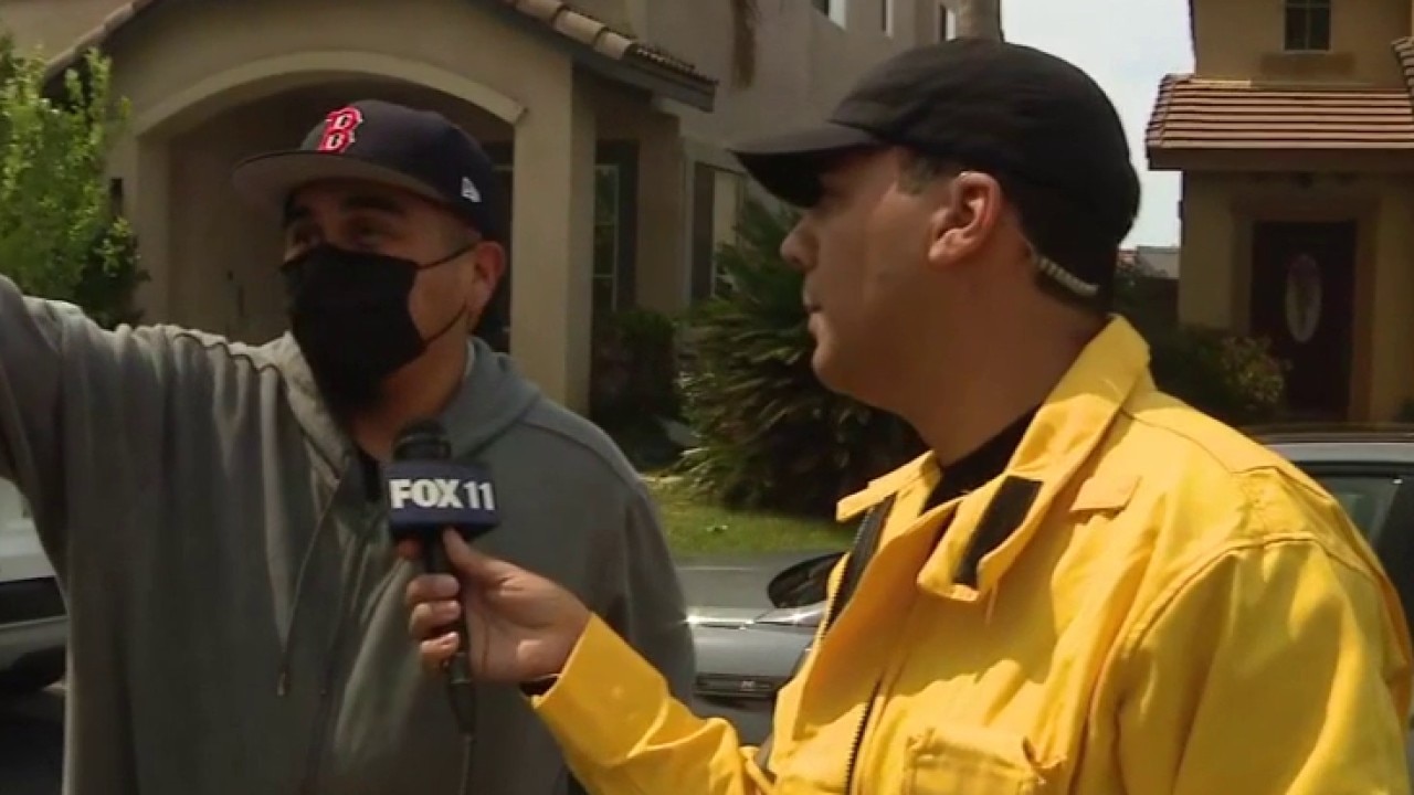
While the fire was initially "daunting," as resident Mike Doughton described it, no structures have been burned.
Many residents, including the Green family, are now expected to be able to spend Easter Sunday in their homes following the downgrade of evacuation orders in several zones.
Springs Fire in Riverside County forces evacuations
An evacuation shelter has been set up at Valley View High School located at 13135 Nason St. in Moreno Valley.
What we don't know:
The exact cause of the fire remains under investigation.
While containment is growing, officials have not yet provided a timeline for full 100% containment, as hand crews must still navigate steep, charred hillsides to ensure the perimeter is completely secure.
What they're saying:
"Looking at the fire and the smoke, it was pretty daunting. How bad is it going to get? Is it going to come over the hill? Will my house be here when I get back?" said resident Mike Doughton during Friday's frantic evacuation. Upon returning Saturday, he added, "We got pretty lucky. It's overwhelming how much you take for granted."
Gratitude for the first responders was a common theme among returning residents.
"I just wanted to say thank you to all of them so much for all that they did and are still doing and continue to do," said Tomara Green.
Moreno Valley residents prepare to evacuate amid Springs Fire
Crews across Southern California are responding to a dual threat as the Springs and Crown fires expand rapidly under dry, windy conditions.
What you can do:
Residents returning to their homes should remain vigilant, Cal Fire warns.
The public is urged to avoid Gilman Springs Road to allow heavy equipment and personnel to continue their work.
You can check the status of your specific evacuation zone by visiting the Riverside County emergency map at protect.genasys.com.
The Source: This report is based on official incident updates from CAL FIRE Riverside and the Riverside County Fire Department, supplemented by on-the-scene interviews conducted by FOX11. Information regarding containment and acreage was verified through the CAL FIRE incident database to ensure accuracy during the active recovery phase.