

Wet, wintry storm moves into SoCal
(FOX 11)
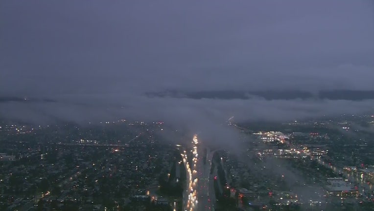
LOS ANGELES - A winter storm will sweep into the Southland Monday, generating rain, snow, and relatively low temperatures over the next several days.
The National Weather Service said the storm will generate between three-quarters and an inch-and-a-half of rain in coastal and valley areas and between an inch-and-a-half and three inches in the mountains and foothills amid winds of 20 and 40 miles per hour.
In the mountains, between 8 and 14 inches of snow is expected above m6,000 feet while from four to eight inches is forecast from 5,000 to 6,000 feet. Only light accumulation is expected on The Grapevine, elevation 4,144 feet, although snow could fall as low as the 3,000-foot level.

Weather Forecast for Monday, March 16
The latest forecast for the greater Los Angeles area, including beaches, valleys and desert regions.
In the San Gabriel Mountains, a winter storm warning will be in effect from noon today until 3 a.m. Tuesday.
"Icy driving conditions can be expected with possible closures of mountain roads including Highway 2, the Interstate 5 corridor between Gorman and the Grapevine, and possibly Highway 14 through the Soledad Pass. Travel could be very difficult to impossible,'' warned an NWS statement. "If you must travel, keep an extra flashlight, food, and water in your vehicle in case of an emergency."
The NWS noted that the latest road conditions are available from CalTrans at 800-427-7623.
Download the FOX 11 Weather Authority App to get real-time updates on road conditions impacted by severe weather. Click here for iOS. Click here for Google Play.