

Historic 'Godzilla' El Niño forms: Southern California warned of volatile winter ahead
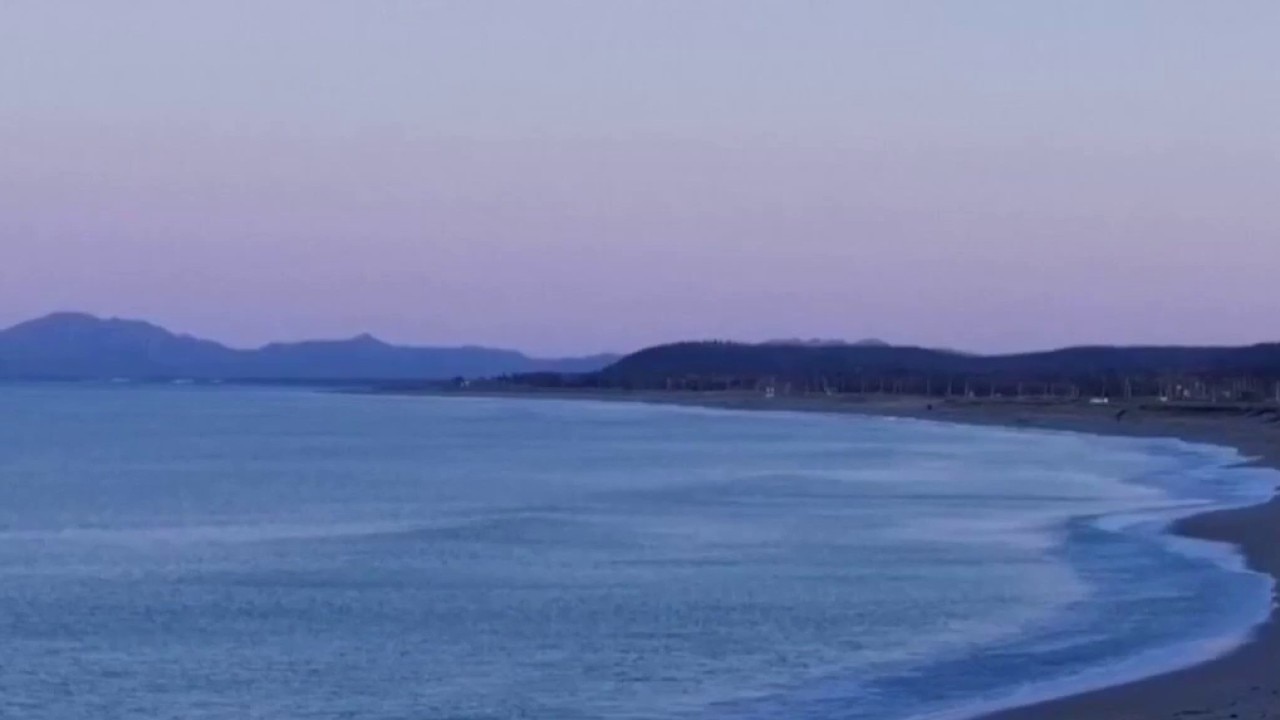
Powerful El Niño could mean wet winter for SoCal
Typical impacts of El Niño generally include stormier weather in the southern United States — meaning more rain and snow. It can also lead to an increased risk of flooding during high tides on the West Coast. Harmful algae blooms are also a potential effect on the West Coast.
LOS ANGELES - Southern California could be in for a particularly wet and volatile winter, as meteorologists warn a brewing El Niño in the Pacific Ocean may rapidly intensify into one of the most powerful ocean-atmosphere disruptions recorded in the last 75 years.
What we know:
Forecasters at the National Weather Service's Climate Prediction Center have officially recorded above-average sea surface temperatures across the central and eastern Pacific Ocean near the equator.
These conditions are actively favoring the development of El Niño, which is expected to steadily strengthen.
The phenomenon typically shifts the polar jet stream southward over the northern Pacific Ocean.
While this redirects moisture away from the Northern Rockies, the Pacific Northwest, and the Ohio and Tennessee valleys—leaving them warmer and drier—it funnels a conveyor belt of stormy conditions directly into the southern tier of the United States.
For California, this setup traditionally triggers dramatically increased precipitation, alongside an elevated risk of flooding during high tides and the potential for harmful algae blooms along the West Coast.
Globally, it is expected to further heat a planet already warming from fossil fuel pollution, potentially making 2027 the hottest year on record.
It increases extreme weather dangers for Hawaii, causes heavy rains and floods in western South America, and threatens Australia and India with intense heat and droughts.
What we don't know:
While a massive El Niño heavily tilts the scale toward a grueling winter, atmospheric outcomes are never completely guaranteed.
Meteorologists cannot yet pinpoint the exact timing, frequency, or rainfall totals of the storms bound for Southern California.
Because atmospheric variables constantly shift, the exact local impacts remain an educated probability rather than a certainty. Additionally, while scientists predict stronger El Niños as the world warms from the burning of coal, oil, and gas, it is still too early to definitively say if this specific event is a direct result of that long-term trend.
Timeline:
Summer and Fall: Ocean temperatures will be monitored continuously as the system builds. Strong early signs suggest this El Niño could peak a month or two earlier than typical systems.
November 2026–January 2027: The critical window when the El Niño event is projected to peak in strength, likely triggering the first major wave of winter storms across the southern United States.
2027: Due to the lagging effects of the ocean warming pattern, climate scientists forecast this will likely become the hottest year on record.
What they're saying:
Forecasters and global leaders are highlighting the sheer historical scale of the data they are tracking, urging both preparation and nuance.
"There is a 63% chance of a very strong El Niño during November-January that would rank among the largest El Niño events in the historical record going back to 1950," forecasters said.
"Even very strong El Niño events do not lead to the expected impact everywhere, but stronger events can more significantly tilt the odds in favor of expected outcomes," according to forecasters. "In summary, El Niño conditions are present and expected to strengthen into the Northern Hemisphere winter 2026-27."
Ken Graham, director of the National Weather Service, emphasized that preparation relies on analyzing these systems as individual events.
"Every El Niño is not the same; each one is unique with its own imprint on our weather," Graham said in a statement. "Advanced monitoring and an improved understanding of El Niño patterns allow the NWS to better predict and better prepare the public and our core partners for what is to come."
United Nations Secretary-General António Guterres described El Niño as an "urgent climate warning." "El Niño conditions will pour fuel on the fire of a warming world," Guterres said in a video message.
"Instead of scared, we can ask people to be prepared," said Columbia University climate scientist and El Niño expert Muhammad Azhar Ehsan.
What's next:
Meteorologists and research teams will continue to track the warm, deep waters pushing toward the surface of the Pacific Ocean to see if the system continues its trajectory toward "super" or "Godzilla" status.
Industries are also preparing for shifting economic realities.
While the weather pattern tends to generally benefit the U.S. agriculture industry—particularly grain and soybean setups in 18 major growing states—the overall temperature increases can dampen American economic growth as a whole.
The Source: This report is based on official climate announcements and data provided by the National Weather Service's Climate Prediction Center and the National Oceanic and Atmospheric Administration (NOAA). Additional insights and forecasting models were evaluated by climate scientists and economists from Stanford University, Princeton University, Columbia University, and Clark University via The Associated Press.