

Wet weather and dangerous surf continue in SoCal ahead of potential midweek storm
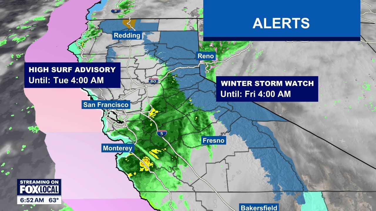
Weather Forecast for Monday, Nov. 16
The latest forecast and air quality conditions for the greater Los Angeles area, including beaches, valleys and desert regions.
LOS ANGELES - An active weather pattern is bringing multiple periods of rain and continued hazardous beach conditions to Southern California this week, with forecasters monitoring the potential for the first widespread storm of the season alongside high surf advisories.
"The risk of significant impacts and flooding exists with a midweek storm," said the National Weather Service. Very large surf and high tides will support continued hazards at the coast, and forecasters noted this could be the first storm of the season with truly widespread moderate to heavy rain and high elevation mountain snow.
Precipitation & mountain snow forecast
According to the National Weather Service Los Angeles, rain intensity and amounts through Monday night are expected to be light, with some areas likely receiving no rain at all. However, precipitation chances continue across Los Angeles, Ventura, Santa Barbara, and San Luis Obispo counties through midweek:
Los Angeles County Rain Chances: 30% to 50% chance during the daytime Monday, Nov. 16, dropping to 10% to 20% Monday night through Tuesday night, and 0% to 10% Wednesday, Nov. 18.
Ventura County Rain Chances: 30% to 50% chance Monday daytime, 10% to 20% Monday night and Tuesday daytime, and 0% to 10% Tuesday night through Wednesday.
Santa Barbara & San Luis Obispo Counties: Higher rain chances persist through Tuesday, with San Luis Obispo seeing a 60% to 70% chance Monday daytime and 30% to 50% Monday night, while Santa Barbara holds a 30% to 50% chance Monday daytime and 10% to 20% Monday night into Tuesday.
While the National Weather Service notes there are low chances of heavy rain and significant flooding through at least Wednesday, forecasters advise residents to adjust plans in anticipation of wet and cooler conditions.
Snow levels are generally above 7,000 feet—sitting between 7,000 and 8,000 feet during the day Monday—before dropping to 5,000 to 6,000 feet Monday night. Levels are projected to dip further to 4,500 to 5,500 feet by Tuesday night before rising back to 6,000 to 7,000 feet Wednesday night.
Gusty northwest to north winds are also expected across interior mountains, potentially filtering into some valleys and mountains near the Ventura County and Los Angeles County border Monday night into Tuesday morning, with a 20% to 30% chance of reaching advisory levels. Daytime temperatures in both Los Angeles and Orange counties will remain in the 60s this week, with overnight lows mostly in the 40s and lower 50s.
High Surf, Pier Closures & Coastal Advisories
Along the coast, large surf continues to pose coastal flooding and ocean safety concerns.
High-Surf Advisories: A high-surf advisory remains in effect until 3 p.m. Tuesday at Los Angeles County beaches, with large breaking waves of 6 to 9 feet and dangerous rip currents expected. In Orange County, a high-surf advisory remains in effect until 4 a.m. Wednesday.
Pier Closures: The Manhattan Beach Pier briefly reopened after closing Saturday due to high surf, but city officials closed it again at sunset Sunday and kept it closed overnight. The Hermosa Beach Pier also closed Saturday, with its planned reopening time remaining unclear.
Swelling & Erosion: "A series of significant west-northwesterly swells are expected to produce large surf this week with highest surf and greatest impacts potentially peaking again Monday, Wednesday and Thursday," the National Weather Service said Sunday. "Some of these impacts may be moderate to significant beach erosion and shallow flooding of normally dry beaches and walkways."
Forecasters warned of an increased risk for ocean drowning and urged beachgoers to stay out of the water or remain near occupied lifeguard towers, as well as to avoid rock jetties.
Additionally, a small craft advisory is in effect from 2 p.m. Monday to 3 a.m. Wednesday for the Santa Catalina area, with officials advising inexperienced mariners—especially those operating smaller vessels—to avoid navigating in hazardous conditions.
The Source: Information for this story came from the National Weather Service and City News Service.