

Flood watch hits Southern California as heavy rain, debris flows threaten region
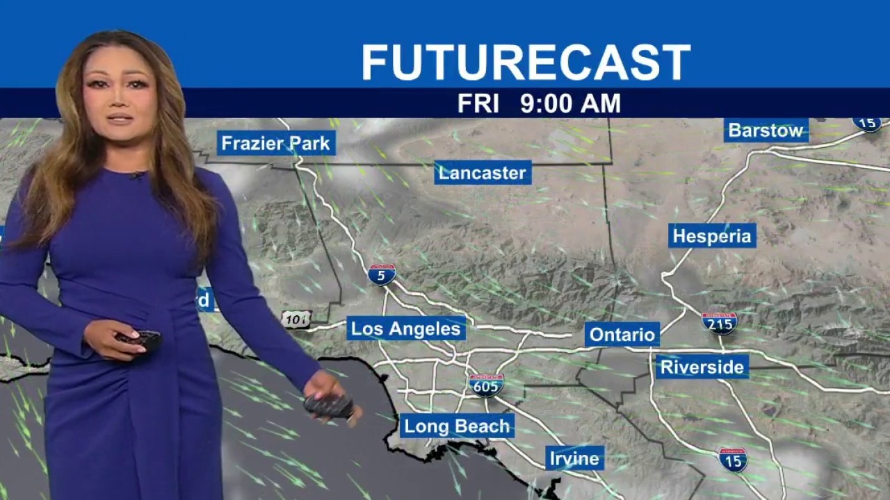
Weather Forecast for Wednesday, Oct. 21
The latest forecast and air quality conditions for the greater Los Angeles area, including beaches, valleys and desert regions.
LOS ANGELES - Heavy rain and thunderstorms are expected to sweep across Southern California Wednesday as a strong autumn storm threatens flooding in vulnerable coastal and mountain communities.
The system brings much cooler weather to the region through Thursday before dry conditions return for the weekend.
What we know:
Flood watch issued
The National Weather Service reported that the storm system is moving east and will reach Los Angeles County by Wednesday afternoon.
The heaviest rainfall is forecast to occur Wednesday night into Thursday morning, according to the NWS.
Most areas in Los Angeles County will receive an average of 1.5 inches of rain, though terrain-enhanced areas and regions impacted by thunderstorms could see between 2 and 3 inches.
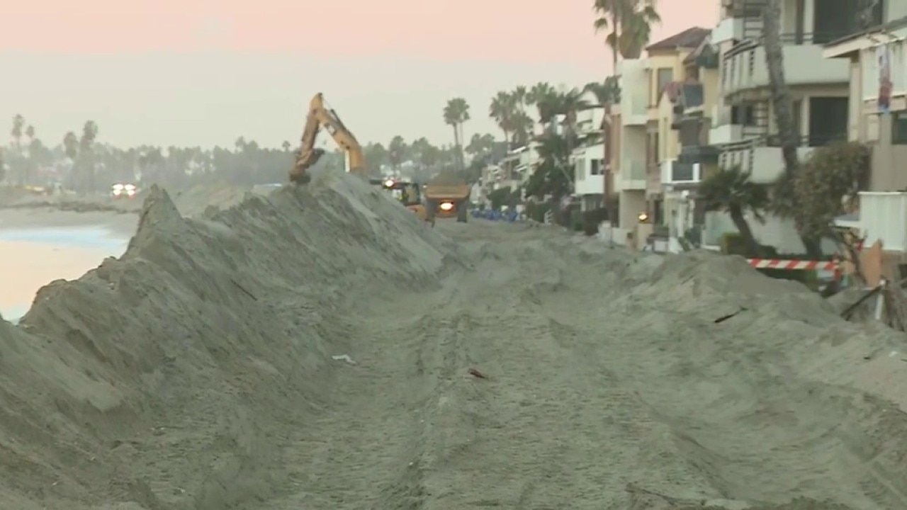
Long Beach Peninsula braces for storm
Long Beach residents were being warned Wednesday to prepare for a storm expected to bring moderate rainfall, possible thunderstorms and coastal flooding Wednesday and Thursday, with particular concern for low-lying neighborhoods along the city's waterfront.
A targeted Flood Watch issued on Tuesday covers the Malibu coast, Malibu Bowl, Pacific Palisades, Topanga, and the eastern and western Santa Monica Mountains.
The watch remains in place from Wednesday afternoon through Thursday afternoon due to model predictions indicating rain rates reaching up to 0.75 inches per hour. Urban streets, poor-drainage areas, creeks, and rivers face potential flooding, the NWS said.
The arrival of the storm drops daytime temperatures into the mid-60s to lower 70s across the region, ending a recent period of high heat and strong Santa Ana winds.
Snow is not expected at elevations below 8,000 feet.
Coastal waters face deteriorating marine conditions with lightning, gusty winds, small hail, choppy seas, and isolated waterspouts.
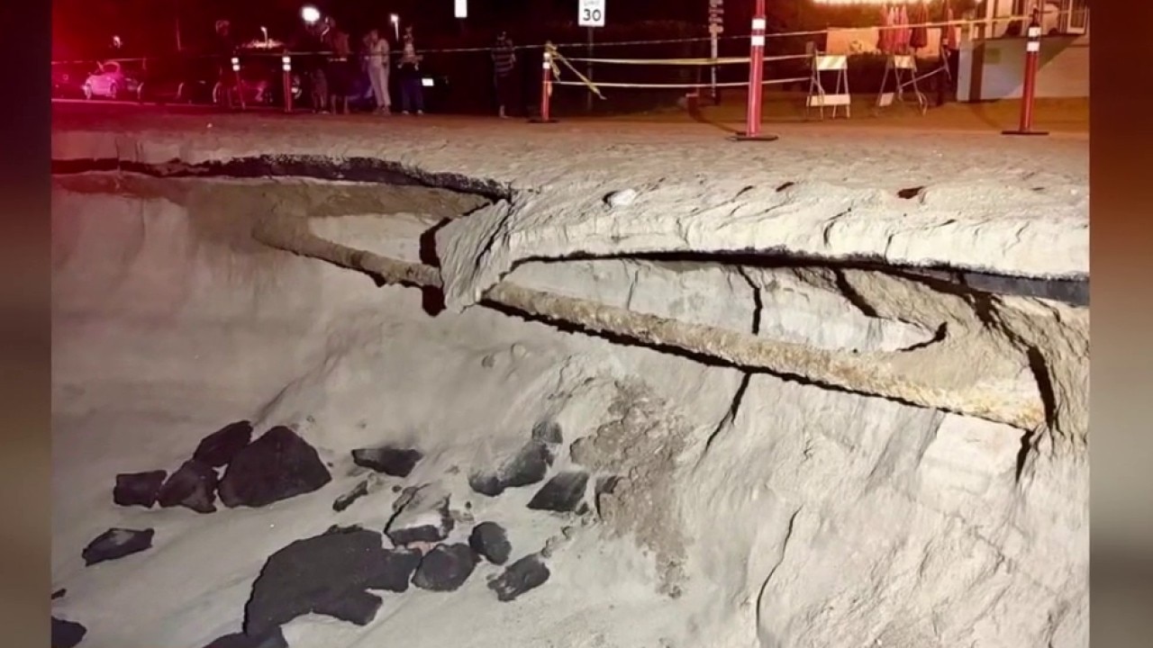
A beach hazards statement is active through late Thursday night for the Los Angeles County coastline due to elevated surf, dangerous rip currents, and minor tidal overflow.
What we don't know:
Forecasters are monitoring the exact path of the upper low-pressure system, which carries a small probability of 5% or less of generating a weak tornado as it moves inland late Wednesday night into Thursday morning, according to the NWS.
What's next:
Dry weather will return to Southern California on Friday.
Offshore Santa Ana winds are projected to redevelop over the weekend, though forecasters expect this event to be weaker than the previous week's winds, with gusts between 30 and 50 mph primarily affecting mountain zones.
Temperatures across coastal and valley regions will rebound into the upper 70s and 80s over the weekend.
The Source: This report is based on weather advisories, forecast discussions, and coastal statements issued by the National Weather Service. City News Service contributed.