

Southern California storm warning: Heavy rain, thunderstorms, and Flood Watch issued
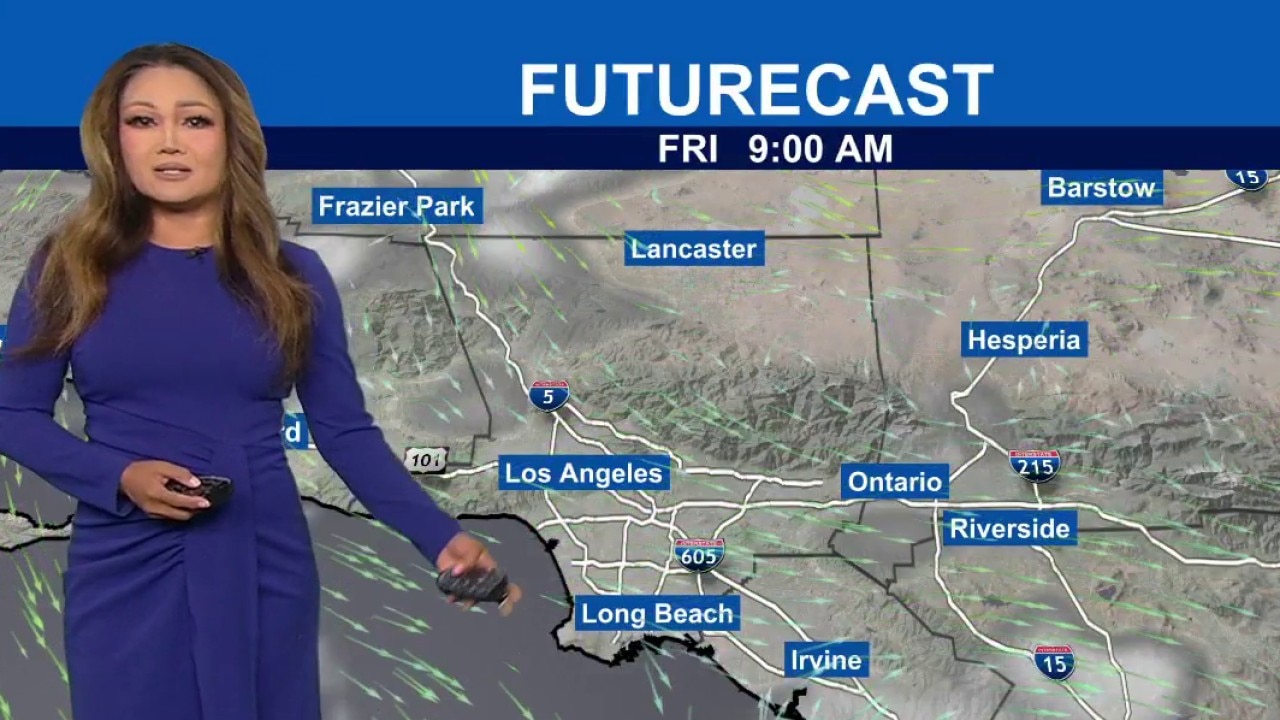
Weather Forecast for Wednesday, Oct. 21
The latest forecast and air quality conditions for the greater Los Angeles area, including beaches, valleys and desert regions.
LOS ANGELES - Heavy rain and thunderstorms are expected to sweep across Southern California on Wednesday as a strong autumn storm threatens flooding in vulnerable coastal and mountain communities.
The system brings much cooler weather to the region through Thursday before dry conditions return for the weekend.
What we know:
The National Weather Service (NWS) reported that the storm system is moving east and will reach Los Angeles County by Wednesday afternoon, with the latest forecast discussions indicating the system is on track for a relatively on-time arrival. The heaviest rainfall is forecast to occur Wednesday night into Thursday morning.
Most areas in Los Angeles County will receive an average of 1.5 inches of rain, though terrain-enhanced areas and regions impacted by thunderstorms could see between 2 and 3 inches, the NWS said. Orange County is also expected to experience cooler temperatures and periods of rain, with thunderstorms possible. Forecasters noted that snow is unlikely below 8,000 feet.
A targeted Flood Watch issued on Tuesday covers the Malibu coast, Malibu Bowl, Pacific Palisades, Topanga, and the eastern and western Santa Monica Mountains.
The watch remains in place from Wednesday afternoon through Thursday afternoon due to model predictions indicating rain rates reaching up to 0.75 inches per hour.
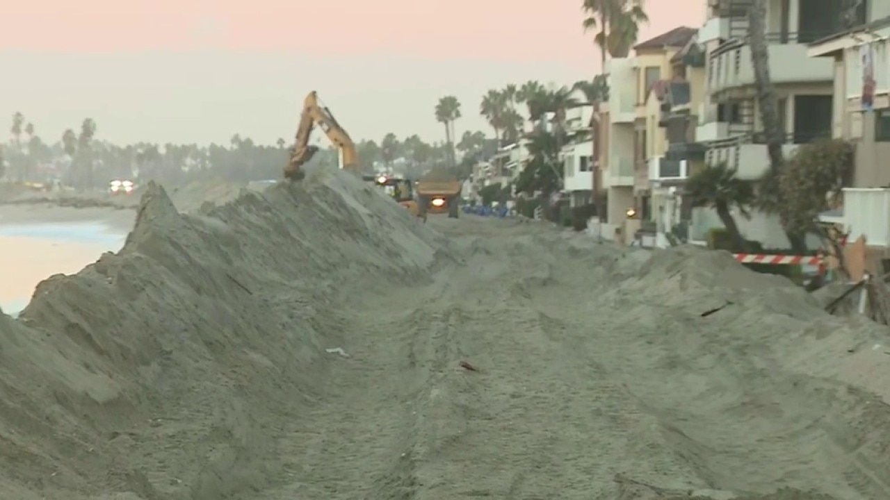
Long Beach Peninsula braces for storm
Long Beach residents were being warned Wednesday to prepare for a storm expected to bring moderate rainfall, possible thunderstorms and coastal flooding Wednesday and Thursday, with particular concern for low-lying neighborhoods along the city's waterfront.
Urban streets, poor-drainage areas, creeks, and rivers face potential flooding, with extensive street flooding possible.
The arrival of the storm drops daytime temperatures into the mid-60s to lower 70s across the region, ending a recent period of high heat and strong Santa Ana winds, the NWS said. Both Wednesday and Thursday are expected to remain cloudy and cool.
Coastal waters face deteriorating marine conditions with lightning, gusty and erratic winds, small hail, choppy seas, and isolated waterspouts.
A beach hazards statement is active through late Thursday night for the Los Angeles County coastline due to elevated surf, dangerous rip currents, minor beach erosion, and tidal overflow in low-lying areas.
What we don't know:
Forecasters are monitoring the exact path of the upper low-pressure system. According to the NWS, the system carries a small probability of 5% or less of generating a weak tornado as it moves inland late Wednesday night into Thursday morning.
What they're saying:
City leaders emphasized proactive safety measures in light of recent environmental risks.
"While we don't know how much wet weather Los Angeles will get this winter, we know what heavy rain and strong winds can do here: streets can flood quickly, trees and power lines can come down, and in the Palisades and other recent burn areas, dangerous mud and debris flows could impact homes. That's why we are taking action now to keep Angelenos safe," Mayor Karen Bass said in a statement Wednesday.
What's next:
Dry weather will return to Southern California on Friday. Offshore Santa Ana winds are projected to redevelop over the weekend, though forecasters expect this event to be weaker than the previous week's winds, with gusts between 30 and 50 mph primarily affecting mountain zones.
Temperatures across coastal and valley regions will rebound into the upper 70s and 80s over the weekend.
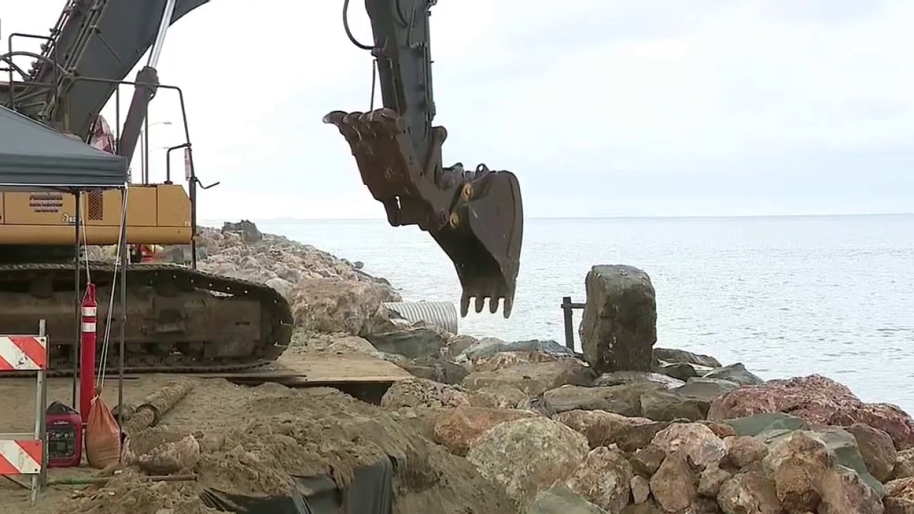
SoCal storm: Long Beach Peninsula braces for flooding
A strong coastal storm is forecast to slam Southern California’s shoreline, triggering flood warnings across the region. In Malibu, severe beach erosion has forced the closure of Westward Beach Road, cutting off access near Point Dume as heavy surf and rising tides continue to wash away the coastline. Crews are monitoring the area as high tides threaten further damage. Meanwhile, in Long Beach, residents along the Peninsula, Naples Island, Belmont Shore, and Alamitos Bay are bracing for tidal overflow and coastal flooding. The city has opened sandbag stations, activated emergency shelters, and deployed Swift Water Rescue teams to patrol riverbeds ahead of the storm.
What you can do:
The city of Los Angeles continued to install reinforced barriers Wednesday, shoring up hillsides and clearing debris from neighborhoods and burn areas. Free sand and sandbags are available to residents at local fire stations.
Under a mayoral emergency executive order issued after the January 2025 wildfires, Public Works crews are providing sandbags and installing more than 13,000 feet of K-rail in Pacific Palisades.
Officials encouraged residents to sign up for emergency alerts through NotifyLA, create emergency plans with their families, and prepare essential supplies. Residents can check if their home is in a flood zone by visiting LA County's website at pw.lacounty.gov/floodzone/moreinfo.cfm.
City agencies have deployed widespread preparations:
- The Los Angeles Fire Department has specialized resources on standby for swift water rescues and rain-related emergencies.
- The Los Angeles Police Department is prepared to assist with emergency evacuations as needed.
- Los Angeles Homeless Services Authority teams are conducting outreach to provide unhoused Angelenos with weather updates, safety information, and supplies.
- Street services crews, the Department of Transportation, and the Bureau of Engineering are monitoring landslide-risk areas and roadways.
- The Bureau of Sanitation is managing wastewater conveyance systems and regularly cleaning 18 debris basins in the Palisades area.
The Source: This report is based on official forecast discussions and weather advisories issued by the National Weather Service, alongside public emergency statements and operational updates provided by Mayor Karen Bass and Los Angeles municipal departments. City News Service contributed.